
Group exhibitions, projects; Partnership projects
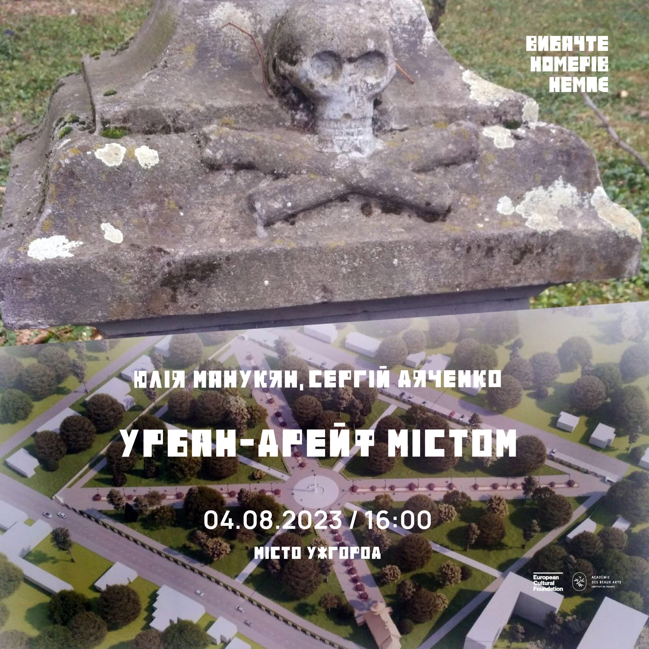
The urban drift through Uzhhorod:
SVOBODY AVENUE, KAPUSHANSKA CEMETERY
The project “City VS Utopia” by Serhii Diachenko, Yuliia Manukian
Sorry No Rooms Available residence, program “Kindling – Reform – ”, curated by Alex Fisher – Petro Ryaska.
In partnership with the Swedish residencies Baltic Art Center and Milvus Artistic Research Center. Supported by the Swedish Institute, the European Cultural Foundation and The Beaux-Arts Academy in Paris.
A critical view through the project “City VS Utopia” by Serhii Diachenko, Yuliia Manukian:
Judging by the architecture of the development of Svobody Avenue within Zankovetska-Kapushanska, this building appeared in the 50s of the 20th century. Both sides of the street from Cyril and Methodius Square (strange name) to Kapushanska are built according to a single project of symmetrically arranged four-story buildings. The beginning, from Cyril and Methodius, is organized in the form of a “gate” with elevated five-story blocks – an ancient classical tradition. But in the context of Czech modernism, for some reason, Frantisek Ulrich Square on Gocharovoy Prospekt in Hradec Králové immediately comes to mind. That is, this solution looks quite organic for combining modernist Czech Maly Galagov with new Soviet buildings.
Apparently, the idea was to lead the cross street (Zankovetska) to Shwabska. And although there was a fragmentary historical building on the side of Schwabska, it was about a historical perspective in which it was important for subsequent city planners to find a way to complete the idea. But “no.” These town planning prospects were buried by rough extensions, which buried under them everything that remained from Zankovetska Street and this one.
However, an even greater evil was the construction of the Cathedral of Christ the Savior in 2000 on this square (simultaneously with the reconstruction of its older brother, the Cathedral of Christ the Savior). The monstrous dimensions of the temple, its brazenly central location on the site of a green square, glaringly prove that the implementation was financed and promoted directly from Moscow. Only the declared open estimate is more than 5 million dollars. One can only imagine – shadowy. Would Uzhhorod believers have mastered such sums?
But what do we have in the end? We have a catastrophic loss of the artistic and architectural identity of Uzhhorod. This pro-Moscow monster temple barbarically violated the delicate and vulnerable 400-year-old architectural heritage of Uzhhorod. The fragile Cathedral of the Exaltation of the Cross on Castle Hill has been humiliated by gigantism. Even his name for the lower temple of the monster, which for some reason is now called this entire monster, was stolen. And it doesn’t look accidental either.
Usually, we justify any more or less interesting architectural solution. And in view of the general architectural qualities – there are no questions. But we are talking about the obvious large-scale architectural aggression of Moscow on the Ukrainian city farthest from it. And it is now possible to combat this only by returning to the situation of the 1990s, that is, by completely dismantling the building along with the foundation.
Opposite the monster is the “Zakarpattia” hotel, which was the tallest building in Uzhhorod. And now attention (!). The height of the hotel with all superstructures is 55 m, and the height of the cathedral is 60 m (52.6 m to the crowning cross). That is, obviously, the idea here was to be above everyone.
We will not touch on all the important aspects of the successful location of the Zakarpattia Hotel, built in 1979 for the Moscow Olympics, but we will pay attention to the fact that the hotel “closes” the northern part of Svobody Avenue 1,300 m from the Transport Bridge itself, from where it is well exposed. The western pedestrian boulevard of Prospekt Svoboda is oriented just to the central axis of the hotel, and this axis is mesmerizing.
And in connection with this, a lot of questions arise regarding the new layout of Cyril and Methodius Square, which destroyed even this idea simply by inappropriately planting too tall trees just in front of the hotel. No one is against landscaping, but in a modern city, landscaping should help solve urban planning problems, not create them. A nice example of Soviet modernism – Hotel “Zakarpattia” – was artificially closed, and the unsuccessful construction of the same Soviet period in the western part of the same square is opened so much that in summer there is nowhere to hide from the heat.
On Kapushanska Street, we will approach the gates of the Zakarpattia Clinical Hospital named after Endre Novak. The beginning of the hospital on this site dates back to 1866, when two military barracks were built for the hospital. Already in 1872, cholera occurred in Uzhhorod, and then a young epidemiologist, Endre Novak, was invited from Budapest, who also turned out to be a good organizer. He began to build the hospital, and on June 14, 1886, the central building was opened, in 1911 the epidemiological pavilion was built, in 1913 – a three-story surgical building, and in 1916 – the fourth building. Since 2008, the hospital has been named after Novak. The street that led from the beginning of Kapushanska to the old cemetery, past this very hospital, was also named after him.
This street with the cemetery is the subject of our next consideration.
Nowak Street does not cross Svobody Avenue now, but it was an important intersection, because Svobody Avenue (then Novomiestska Street) was a symbolic border between the chapel that completed the hospital complex and the cemetery gate, between the world of the living and the dead. The nice chapel (it’s not even a chapel, but a full-fledged church) was built in 1900 by Domitilla Novak, a sister of the Order of St. Vincent. In 1966, the chapel was destroyed by Soviet party officials. In the same year, the cemetery was closed. After that, it seems, the possibility of covering Novaka Street with a five-story building at Svoboda 3 was formalized. But in fact, this typical project provided for the possibility of leaving a passage under the building, because the stairwells were isolated from the first floor, and the building could be without him. For example, a parking lot could be placed under the building. Therefore, the architects left the opportunity not to destroy the planning scheme, which was developed one hundred years before. But the city authorities did not do this, and the natural process of the formation of a dead zone began, with all the consequences of the degradation of the entire quarter. Part of the historical center of 8 hectares, with a perimeter of 1.25 km, has ceased to be interesting not only for tourists, but also for residents. Can the territory of the hospital be opened? It is not only possible, but also necessary, because by and large this is a green zone. Of course, you can close the entrances at night or during epidemics – no problem. The same degradation befell the quarter opposite, where the cemetery was located.
In 2014, the chapel on the territory of the hospital was revived, a little in the wrong place, but also at the end of Novaka Street, where the gate to the hospital should have been.
Now let’s see what happened to the cemetery. It is neglected and abandoned. Of course, the reason here was not only the blocking of Novaka Street, it is only a conceptual connection. Simply the official closure of cemeteries entails the termination of funding for its improvement.
An attempt to bring life back to this corner of the city was the construction in 2013 of a copy of the wooden church of St. arch-strategist Mykhailo from the village of Neresnytsia, Tyachiv district, which burned down in 2003. Now a banner has appeared on the fence of the cemetery with a project to revive the cemetery in the form of a memorial complex. We will not even comment on him, because he says everything about the way of thinking of the authorities.
Recording “Serhiy Dyachenko – Yulia Manukyan: The first urban drift through Uzhgorod”
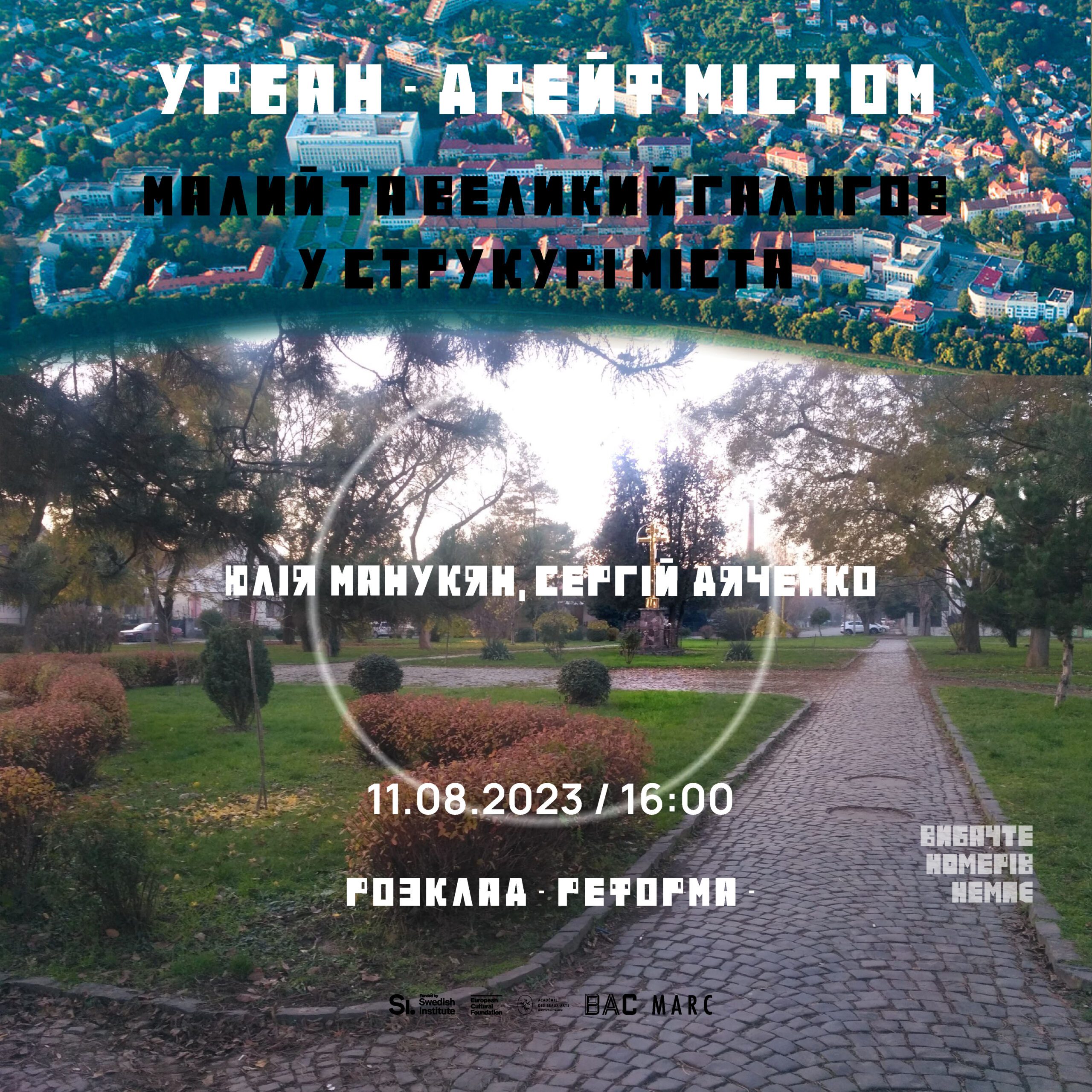
The second urban drift through Uzhhorod:
GALAGOV IN DEVELOPMENT
The project “City VS Utopia” by Serhii Diachenko, Yuliia Manukian
About the flag and the meaning of “disclosure”
Not far from the flagpole, on the Kyiv Embankment, there is a place from which an incredible view of People’s Square on the opposite bank should open. But no “incredible” species is revealed behind the trees. Meanwhile, this square is worth it. The modernist administrative center of Uzhgorod was built in 1923–1938 and is called Maly Galagov. Adolf Liebscher and František Krupka developed an ingenious project without exaggeration. Probably because they made nature itself their co-author. The plan was based on the outline of the Maly Uzh River bed, which encircled its swampy valley in a huge semicircle. This is how the horseshoe-shaped layout was born, the center of which was the parterre square from the huge government building to the Uzh embankment.
During construction, the planning scheme was improved, minor changes were made. In the end, it began to resemble no longer a horseshoe, but a Fibonacci spiral (golden ratio snail). The horseshoe remained incomplete, its arc received several circular centers, and the groups of blocks in the middle received several planning axes. But one axis is still singled out – it is the same axis of People’s Square and its main building – the administration of the Uzhhorod region.
There was not enough space to the embankment for the development of the town-planning axis, and therefore the architects envisioned the construction of a bridge and its continuation further to the southern bank of the Uzh. However, in 1934-1937, the bridge was lowered downstream to divert transport traffic away from the government quarters, which was a very smart decision.
If we now want to return to the original idea, then it is not necessary to build a bridge at all. Developing People’s Square and completing the planning “spiral” was obviously also possible at the expense of the modern Bohdan Khmelnytskyi Square. Here it was possible to extend the parterre of the People’s Square, free the banks from tall trees and somehow emphasize all the important points—there are at least three of them. This is exactly what was meant in the first project—a planned combination of the two banks, so that the central square would have a real impact on the development of the city on the opposite bank of the Uzh. The flag idea could help solve this problem.
The main building of the square is the Uzhhorod Hotel, which has its own axis of symmetry, which is now not emphasized in any way. Therefore, the ideal place for the flag could be the intersection of the axes of Narodnaya Square and the Uzhhorod Hotel. It would not hurt to arrange an observation deck from the embankment.
Axis of Great Galagov
We will cross the Masaryk bridge to Galagov. The transport bridge, Druzhba Narodiv Square and the part of Mytna Street from the square to Sobranetska Street became a natural and planning border between the Government Quarters of Maly Galahov and the cottage town of Veliky Galahov, which is “large” only in terms of the size of the built-up area.
Therefore, the next question is the planning combination of the centers of these two districts, in which they were planned—well, allocated. In Veliky Galagov, this center is the oval square of Prince Laborets at the intersection of Zakarpatska and Jan Hus streets. We did not manage to discover the first sketches or any drawings of Veliky Galagov’s urban planning idea. But today we have a result that allows us to more or less reconstruct the initial idea. And today, the vagueness of the combination of one of the two axial streets of Veliky Galagov—Zakarpatska with Maly Galagov—seems even more strange. Even if it happened later and accidentally, then it’s time to think about how to make this combination anyway?
Currently, the solutions may be different. We offer the following as an option: the circular turn of Zakarpatska Street, which it makes in its northern part (beyond the intersection of Dobrolyubova Street), to be repeated on its southern section and carried under the Masaryk Bridge to the organic merger with Naberezhna Nezalezhnosti.
The next point for reflection is Prince Laborets Square (*this is our first task). The problem is that the very idea of the oval square is now unreadable, and visually the square itself does not “hold” the district, it is “overgrown with forest.”
One of the possible solutions is to turn it into a huge flower parterre, in which only the perimeter will be lined with trees and reinforced with trimmed bushes, which already form green corridors along all the streets in the area.
Another option could be to install a more expressive dominant feature than the current wooden cross. It can be a glass transparent obelisk, it can be a 3-D visualization of some strange or geometric object, etc.
Why is it so important anyway? That is why the authors of Maly Galagov, who were all people of the modernist era, nevertheless turned to classical orderliness, which was a sign of order in the entire city, a sign that the law reigns here and the future is determined – this is an important factor of confidence in the future for residents. In architecture, this psychological technique is used for government buildings or banks, which should not give any visual reasons for distrust.
Jan Hus Street
It is interesting that the Veliky Galagov oval square is not in its center relative to Jan Hus Street. Perhaps, in the first project, it did not end at Ivan Franko Street, but ran further through the current sports area, all the way to the bank of the Uzh. In fact, even now, it could be laid in the form of an alley between the sports grounds and the stadium, which, surprisingly, do not interfere with this. And maybe it’s not by chance that they don’t interfere, if it was planned here after all. Therefore, it would be good to extend Jan Hus Street to the shore.
This street is really central and the district planners have done a lot to mark its importance. It is indeed the axis of symmetry for the right and left quarters. Even parallel streets on the right and on the left at a certain moment make a small bend and symmetrically begin to converge. These are Dobrolyubova and St. Customs is a classic three-beam structure.
Evidently, Jan Hus Street itself, like these two streets, ending with a steep mountain slope along Sobranetska Street, should have been emphasized in this slope or already on it somehow—either by a large grotto or by something dominant (*this is our second task).
Returning to the planning combination of Velikiy and Maly Galagov: In general, they are quite organically connected by Bozhenko, Shevchenko, and Tomas Masaryk streets, with the help of the familiar smooth curves of these streets. And it is clear that this was intended from the very beginning. That is, the radial structure of the northern part of Veliky Galagov with the radial streets of Bozhenka, Zagorska, and Gvardiyska look quite organic. After all, they repeat this general planning turn.
River on Maly Galagov
We will make the next stop at the corner of Shevchenko and Hoyda streets. Hoyda Street is exactly the horseshoe-shaped street under which the Maly Uzh, closed in the collector, flows. It was fashionable to close rivers into collectors in the 19th and 20th centuries. This was done not only to widen the carriageways of the streets, but also to improve sanitation, drain wetlands, and avoid the use of these rivers, which were mostly turned into polluted sewage ditches.
But at the end of the 20th and the beginning of the 21st century, the trends changed a lot. They are trying to remove transport from the central parts of cities and make them more friendly to people and pedestrians. Efforts to maximize greening and flowering of city centers, as well as the return of rivers to urban space, are spreading. This is exactly the idea we offer for consideration. After all, the very name “Galagov” was born from the river. (It is interesting that on the map of Uzhhorod in 1763 it is Maly Uzh that is shown as the main channel of Uzh).
Small rivers in the middle of the cities began to be opened even in Ukraine. It was first talked about in Sumy. There are long-standing projects to develop the Lybid River in Kyiv. Then the project of opening the Sovka River collector appeared. But the idea of opening the Khreshchatyk River on Khreshchatyk seems to be the most unexpected.
Due to the events related to the redrawing of the borders of the countries and the war, Maly Galagov remained partially undeveloped. Wastelands have turned into cozy parks. There is not much transport here. It did not become the center of the bustling life of the city, but became a beautiful green area in the middle of the city with incredible examples of European architecture. Therefore, the restoration of the river here would look not only natural, but also modern
Record “Serhii Dyachenko – Yuliya Manukyan: The second urban drift through Uzhgorod: Small and Great Galagov in the structure of the city”
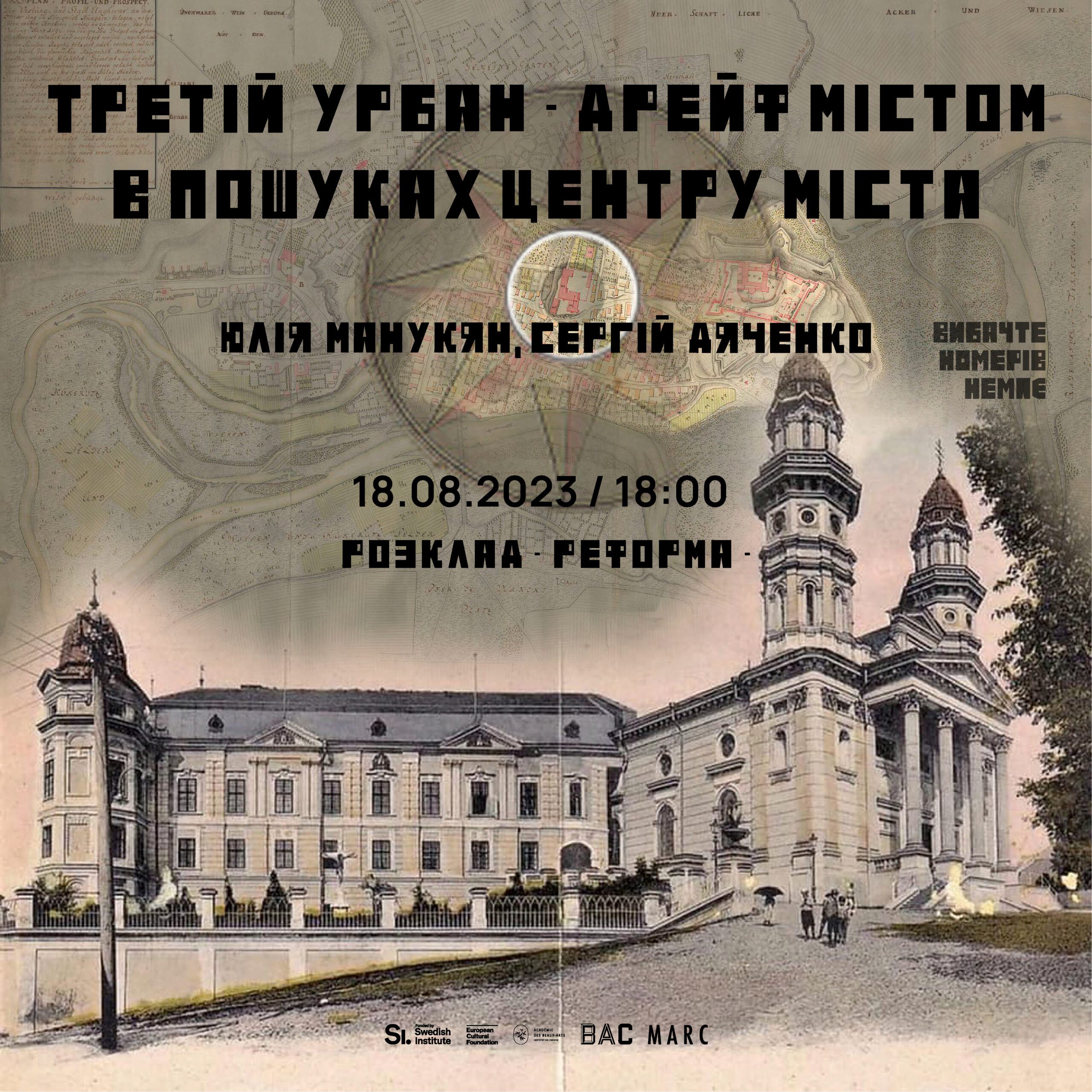
IN SEARCH OF THE CITY CENTER
Project “City VS Utopia”, Serhii Diachenko – Yuliia Manukian
What is the city center? Not such a simple question, if you think about it. There are different opinions about the importance of the center, balancing between the understanding of its administrative technicality and the concentrated identity that must be preserved. Therefore, the center is not only a ring of historical buildings, but a certain point of support in time and space, thanks to which the development of the city takes place, and on which this development rests. We will try to narrow this concept down to a specific building. Most often, it is the main cathedral (rarely – the town hall) on the Market Square. The cathedral usually carries in its architecture a concentration of local architectural differences and traditions. Although later this function was indeed transferred to the town hall buildings.
The Cathedral on the Market Square is a really concrete building. But this is not the case in Uzhhorod. So, let’s deal with the functional trinity – administrative, religious and economic, which almost always determine the center of the city, in relation to Uzhhorod.
(*We are not talking about a modern public center – that is a slightly different topic.)
Uzhhorod began with a castle, like thousands of other cities in Europe. Therefore, for Uzhhorod, the castle had the significance of an administrative center. At the same time, the Yura Church (dated 1248) also appeared here. Castle Hill in Uzhhorod is not high, only 25 meters above the Uzh embankment, and not wide—730×340 m. It was once formed by the arms of the Uzh. Even 100 years ago, from the northern wall of the castle, you could see the river below it—now it is in the collector.
The castle appeared at the end of the 9th century. At the end of the 16th century, it was significantly rebuilt and became more similar to the one we see now. The building was formed along the convenient gentle slopes of the western side. After all, the eastern, northern and southern slopes were too steep. However, the real dominant feature was not so much the castle as the church of St. George within its walls. During the 14th-17th centuries, the church was rebuilt several times, and that is why it was made higher and bigger, so that it dominated the city and the district. It shaped the entire architectural landscape of Uzhhorod for several centuries. But in 1728, there was a big fire in the castle, and the church burned down. Now we don’t see it—we only have the foundation. Fires are not a unique phenomenon—they happened in all European cities, and after that, churches were rebuilt even bigger and more magnificent. This did not happen in the Uzhhorod castle for certain reasons, which are very important to us—the loss of the castle’s dominant role in the life of the city. That is, in fact, the church of St. George was rebuilt—not in the castle, but in another place. It happened in 1762-1766 near the market on the street. Voloshyna, 9. It was rebuilt under the same name and from the same stone that remained after the fire. The role of the main city temple was emphasized by the clock that appeared on the bell tower in 1820.
The loss of the castle’s importance began with the expansion of the city and the appearance of the market square at the intersection of the east-west and north-south roads, along the Maly Uzh, where Koryatovych Square is now. Back in 1380, Uzhhorod received from the king of Hungary the right to hold a weekly fair on Thursdays. From the 15th century, the nationwide Great Fair began to be held in May. Later, the number of holiday fairs increased to six, and at the end of 1780, two more were added. So, Uzhhorod had eight large fairs and several weekly fairs: on Monday – a regular one, on Thursday – a traditional one, and on Wednesday – a pork one. The market played an increasingly important role in the town planning scheme, and the bridge over the Maly Uzh at the junction of Fedynets and Dovzhenka streets became a landmark for the formation of the main street leading from the castle. Although the castle occupied a place on the top of the mountain, it was a dead end in this scheme, because important paths in other directions were not formed.
The shift of the center towards the market was facilitated by the construction of an important structure halfway from the castle. In 1640-46, the lord of the city, Janos X Druget, moved the Jesuit college from his family estate in Humenny (Slovakia), which was an advanced educational institution at that time. Almost in the center of the mountain, on the slope, 400 meters from the former castle church, the Cathedral of the Exaltation of the Cross was built, which outlined the new planning and became the dominant architectural and artistic feature of the city. She remains so today. It is located at a height of 15 m above the embankment. The height of the towers is 30 m (without crosses). That is, the towers of the cathedral rise 45 m above the city. It is not higher than the buildings of the castle, but in the general landscape of the city it is much more pronounced.
It seems that the date of 1640 became a cornerstone not only in the history of Uzhhorod, but also in the formation of its current architectural appearance. After the liquidation of the Jesuit order by Pope Clement XIV in 1773, in the spring of 1775, with the permission of Empress Maria Theresa, the residence of the Greek Catholic diocese, moved from Mukachevo, was placed in the buildings of the collegium. The theological school, which became a theological seminary, was also located here. That is, this place also became an important administrative and religious center of a huge diocese. The Ascension Cathedral, together with the building of the archbishop’s residence, became the most important object of Uzhhorod’s architectural identity. Therefore, much attention was paid to it in subsequent reconstructions.
But we forgot another important functional building – the town hall. From the research of local historians (Tetyana Literati: https://prozahid.com/vtrachenyj-uzhhorod-miski-ratushi-chastyna-persha/), we learn that, in the XVII-XVIII centuries, the functions of the head of the city administration were performed by the headman, and he decided city affairs at his home. In 1807, a special house was purchased for the old man at 13 Zhupanatska Square. Why there? The fact is that Uzhhorod, among other things, was the administrative center of the Uzhan Committee. And the main administrative building in the city was not even the city administration, but the administration of the Uzhan committee (zhupanat). It was called the town hall. The first known building of the committee appeared in 1769 on the street Voloshyna, 37 (now the school of arts is on this site). He was very small. And it was on Zhupanatska Square that, in 1809, the construction of a large three-story palace-like building was completed (now there is an art museum named after Josip Bokshay). Therefore, during the construction of this palace, they decided to place the city administration opposite. This square automatically became the main administrative square of the city.
The Starostat was located here until 1892. Then it moved to the monastery building nearby (Zhupanatska Square, 10, now school No. 4 is on this site). This building also did not meet the needs, so already in 1900 the city administration moved to the foot of the Exaltation of the Cross Cathedral, on the street. Kapitulnu, 3 (corner of Voloshyn, now here is the College of Trade and Economics). It would seem like an ideal place, but in 1939 it moved to the building of the current school No. 9 at 15 Petefi Square. It stayed here until 1960, when it moved to the right wing of the Zhupanat (Zhupanatska Square, 2). And her last place of residence was a building newly erected in 1973 at 3 Poštova Square, just across the street from the previous place, 60 meters away. These are the adventures of the mayor’s office.
As for the county, in 1919 Uzhhorod became part of the Czechoslovak Republic and became the capital of Subcarpathian Rus, which required a whole complex of mandatory administrative buildings. This is how Maly Galagov was born. And now, please note that in the sense of the development of the linear center of Uzhhorod, the choice of a place on this lowland swampy territory is actually logical and evolutionary. The distance of 1,555 m from the castle gates to the colonnade of the Regional Council on People’s Square covers 400 years of natural development of the center of Uzhhorod. Graphically, the old and new center form two loops that meet at Koryatovych Square, from which they are equidistant, it is like a sign of infinity in logical completion.
Recording “Serhiy Dyachenko – Yuliya Manukyan: The third urban drift through the city of Uzhhorod: IN SEARCH OF THE CITY CENTER”
The “Kinling – Reform -” project and the residence of Serhiy Dyachenko and Yulia Manukyan became possible thanks to the support of:
The Swedish Institute
The beaux-arts Academy in Paris
European Cultural Foundation
Baltic Art Center
Milvus Artistic Research Center